
In common with air traffic control organizations around the world, AEROTHAI has to develop Communications-Navigation-Surveillance (CNS) to comply with International Civil Aviation Organization (ICAO) international standards and regulations including AEROTHAI.
As the result, AEROTHAI currently uses the following array of equipments to provide air navigation and accuracy in landing.
- Voice communication system via Ultra High Frequency (UHF) radio, Very High Frequency (VHF) radio, and Aeronautical Fixed Telecommunication Network (AFTN)
- Navigation Aids or Navaids, which support pilots in navigating and landing with accuracy. This system consists of several major pieces of equipment as follows:
- NDB (Non-Directional Beacon) sens a signal to aircrafts, indicating the direction of the airport.
- VOR (Very high frequency Omni-Directional Radio Range) identifies the 360 directional degrees around an airport.
- DME (Distance Measuring Equipment) measures the distance between an airport and an aircraft in nautical miles.
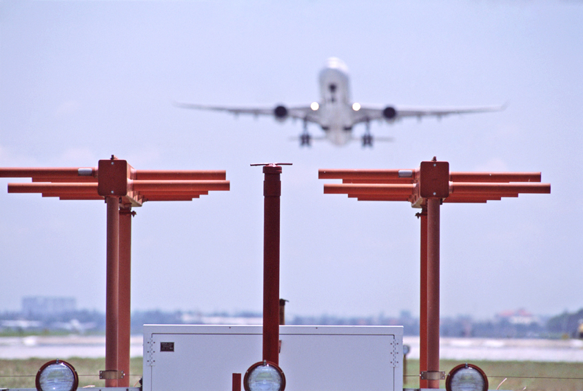
- ILS (Instrument Landing System) guides and assists airplanes in making precise approaches and landings.
- Surveillance system, which precisely indicates the coordinates, altitude, and velocity of aircraft and consists of the following:
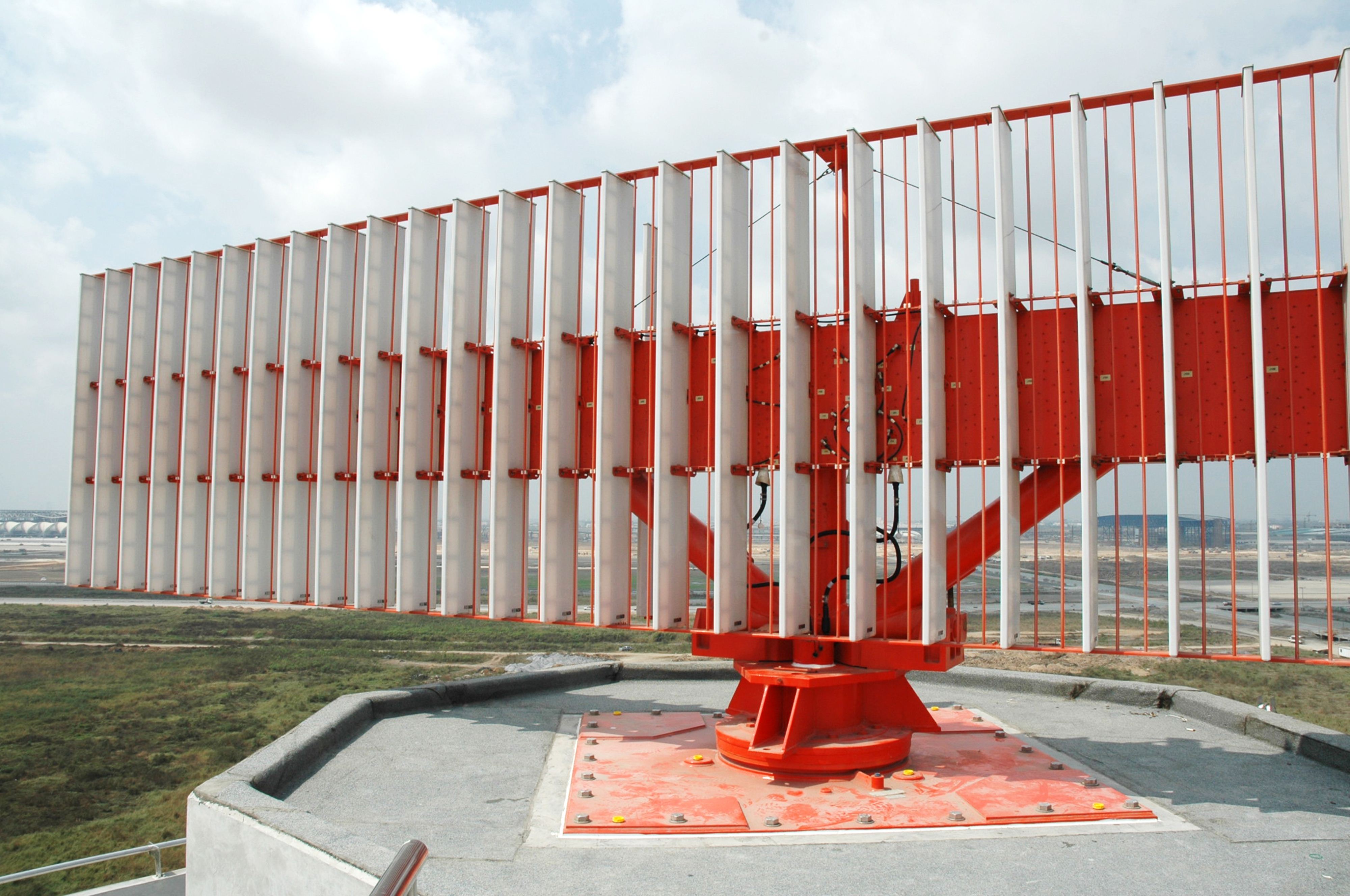
- Primary Surveillance Radar (PSR) installed within the Approach Control are with a coverage of 80-nautical mile radius around airports. AEROTHAI deploys PSR in Chiang Mai, Phitsanulok, Hua Hin, Phuket, and Bangkok
- Secondary Surveillance Radar (SSR) systems used to assist Area Control and provide coverage of 250-nautical mile radius around airports. AEROTHAI has SSR stations in Chiang Mai, Ubon Ratchathani, Surat Thani and Bangkok.